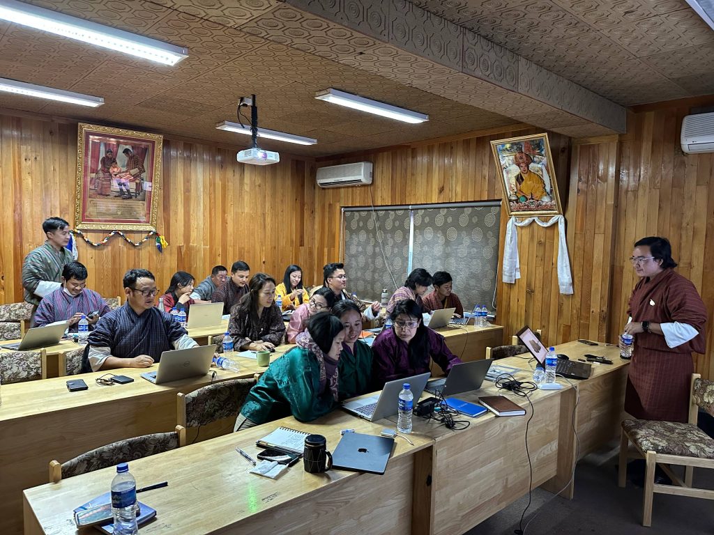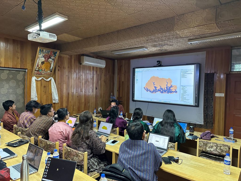





A two-day training program on Spatial Analysis and Visualization through ArcGIS is currently underway at the National Plant Protection Centre (NPPC) under the Department of Agriculture. The training is being facilitated by Mr. Chimi Rinzin, from the National Centre for Organic Agriculture (NCOA). The primary objective of this training is to enhance the participants understanding of the fundamental concept and practical applications of Geographic Information System (GIS), with a specific focus on its role in Agricultural Research, Pest Surveillance, and Plant Protection. Participants include technical staff from various Programs within the NPPC, including the Entomology Program, Pathology Program, Weed Science Program, Pest Surveillance Program and Vertebrate Pest Management Program.
The main objective of the training is to familiarize NPPC staff with the basic concept and practical tools of GIS in agricultural research. The learning objectives includes:
- Understanding the fundamentals of GIS.
- Learning how to create, manage, and analyze spatial datasets using ArcGIS.
- Developing skills to visualize spatial information through maps.
- Applying GIS tools to agricultural and pest management problems.
By the end of the training, participants are expected to be able to independently create and analyze GIS maps relevant to their respective Programs. The two-day Spatial Analysis and Visualization through ArcGIS training at the National Plant Protection Centre marks an important step toward strengthening the technical capacity of Plant Protection Officers.